
General information
It is located on the Río de la Plata river, latitude 34° 55′ S and longitude 56° 14′ W.
The port facilities are located on the east coast of the Montevideo city bay, with the exception of the Hydrocarbon Terminal, located north of the bay, and the new Port of Capurro Fishing Terminal.
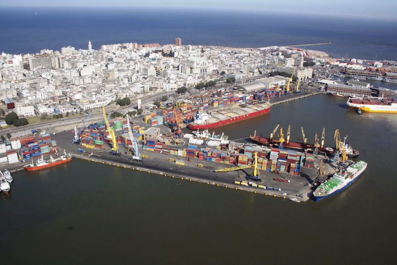
The Western breakwater, one thousand three hundred meters long, and the Eastern breakwater (Sarandí breakwater), nine hundred meters long, protect the port from the SW winds (Pampero), and from the S and SE winds, respectively. This protection is reinforced by an offshore breakwater located just in front of the operational docks. The water surface of the port is divided into three basins: River Basin, Basin I and Basin II.
The land surface is approximately 110 hectares, mainly dedicated to operations. There are ongoing projects to continue its expansion. The total length of docks is more than four thousand five hundred meters. Road vehicles enter and exit the port area via two access gates: Maciel Street Access and Florida Street Access.
As part of a project to streamline the circulation of vehicular traffic within and around the port area, a new gate (North Access) has been installed for certain categories of cargo.
-
Public docks of the Port of Montevideo
-
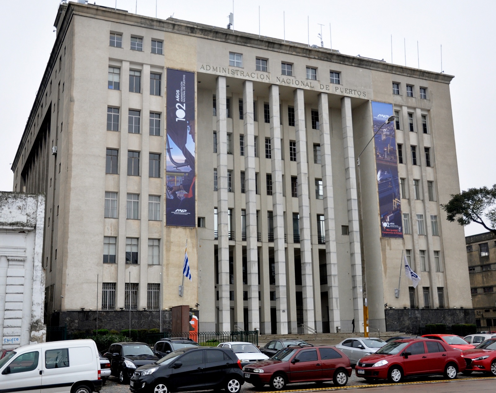
ANP Headquarters Building at Rambla 25 de Agosto 160
-
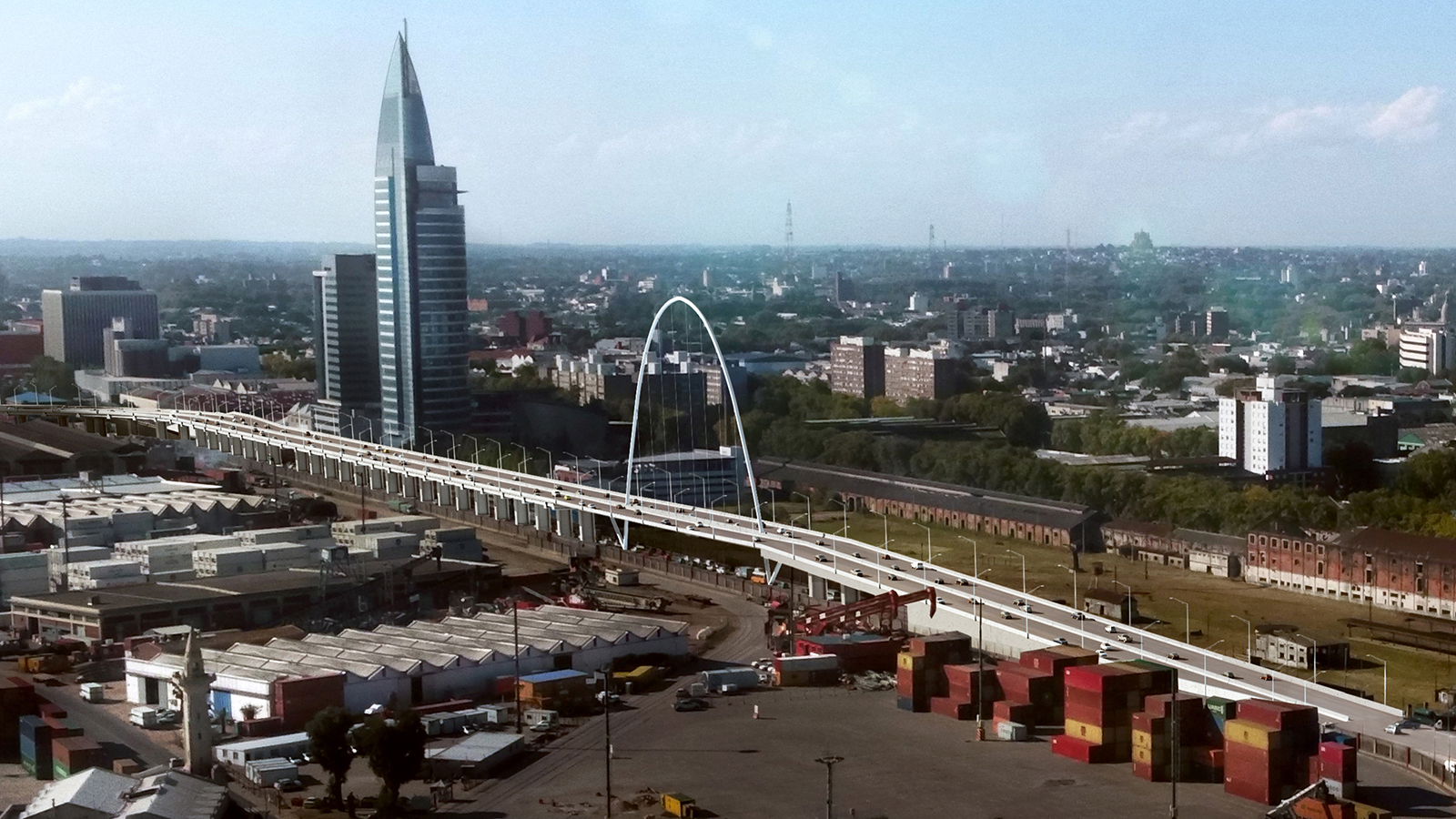
Project for new accesses to the Port of Montevideo
-
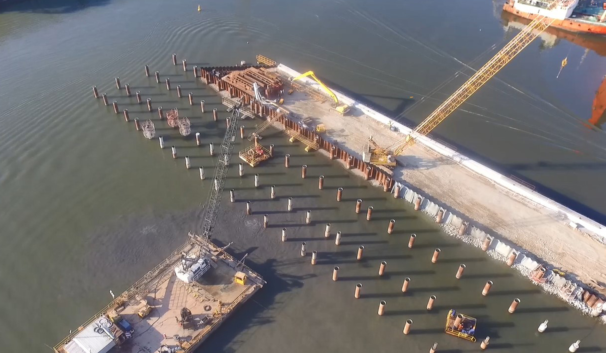
Building of dock C
-
Cruises in Montevideo
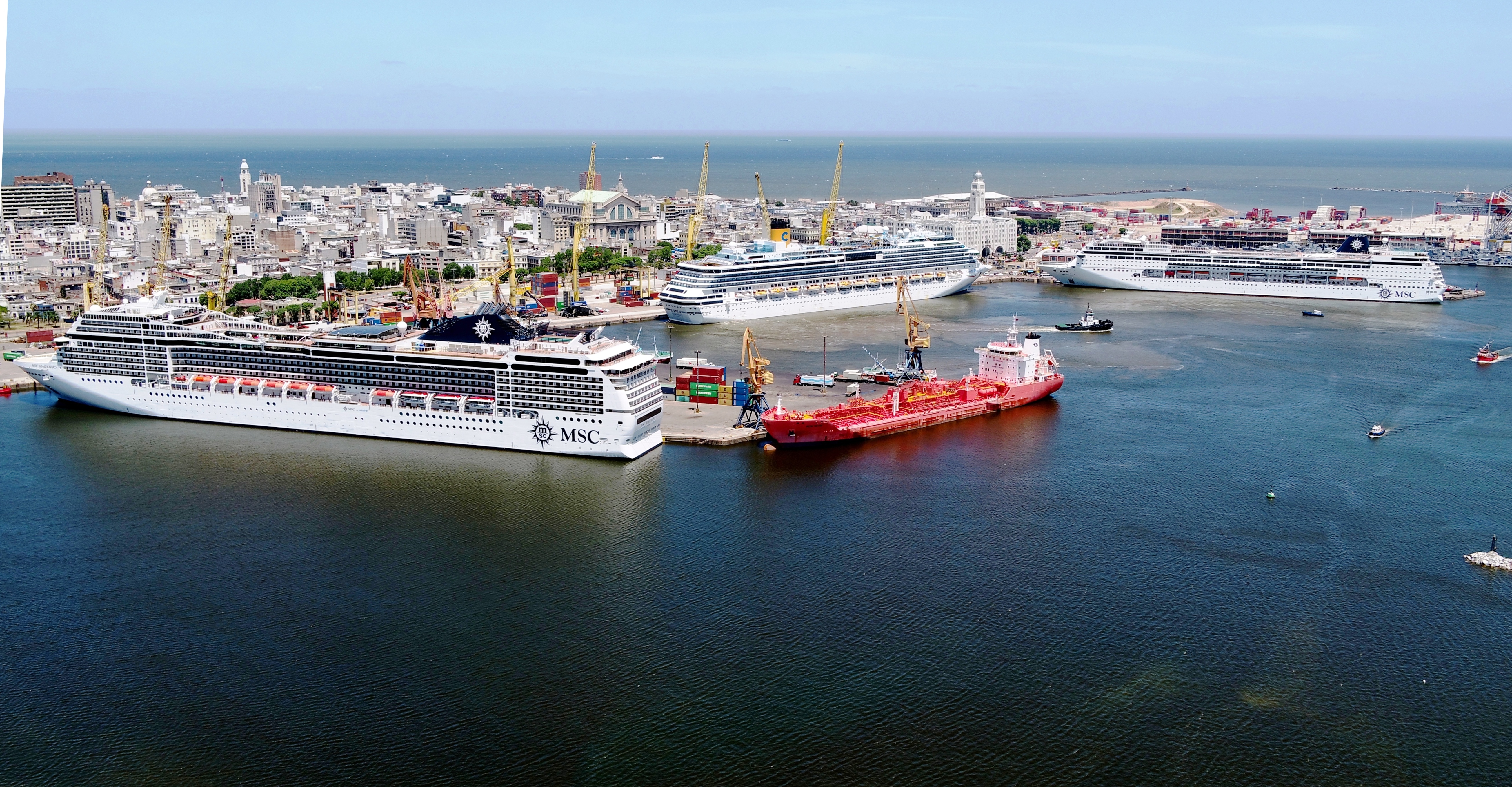
Port of Montevideo
Address: Rambla 25 de Agosto No 160
Telephone: (+598) 2 1901
Schedule: Monday to Friday from 9:00 AM to 4:00 PM..